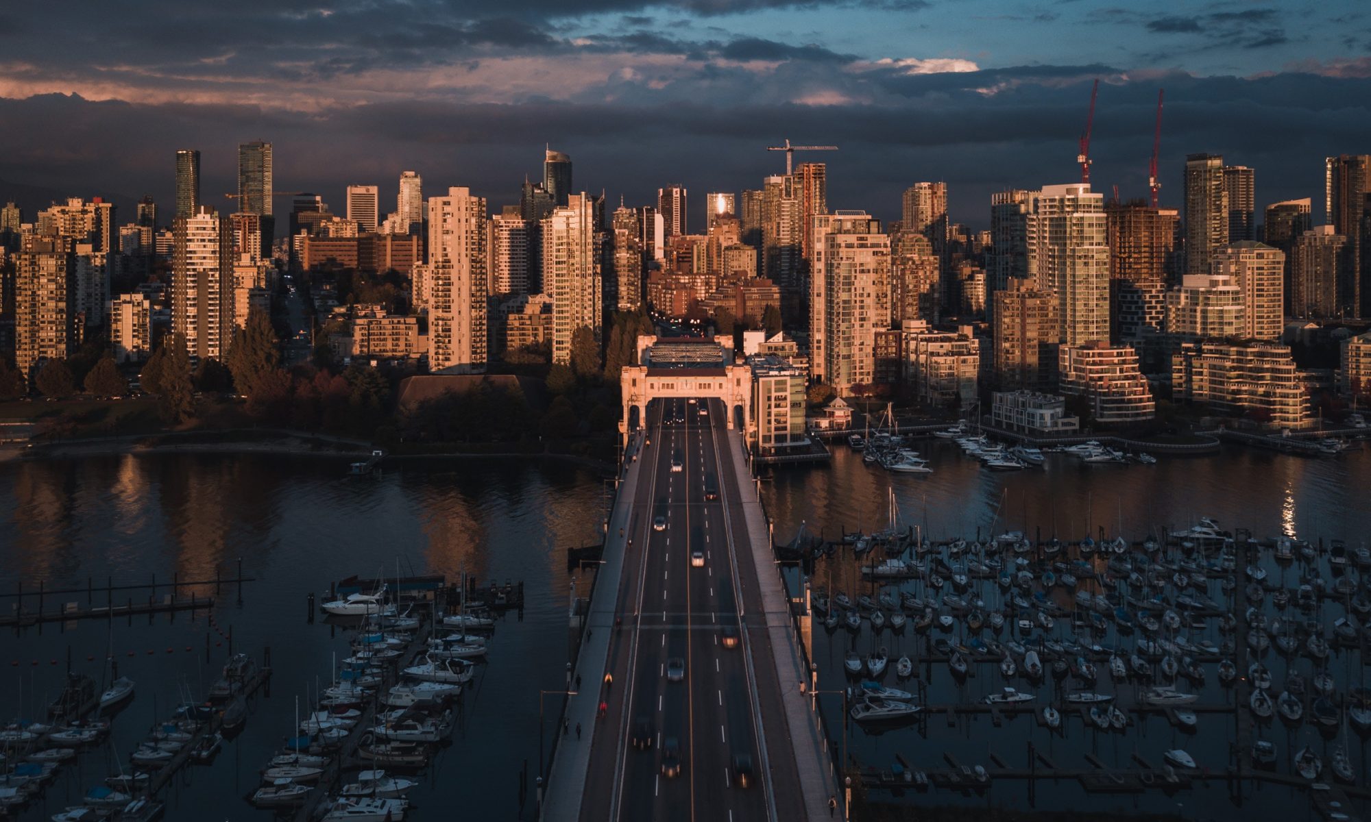
Southwestern British Columbia is one of the most seismically active regions in Canada. A large magnitude earthquake in the Metro Vancouver area has the potential to cause significant damage and loss. Intense shaking from an earthquake can cause a range of related ground deformation hazards, including liquefaction of water-saturated soils and seismically induced landslides along steep unstable slopes. The extent to which seismic waves can be amplified or dampened depends on the underlying geology the seismic waves travel through. Most of Metro Vancouver is built on a deep basin of sedimentary material. When seismic waves travel through the basin, shaking can either be prolonged and intensified or dampened. To date, comprehensive mapping that takes into account the sedimentary basin effect and local geological site conditions has not been completed to identify those areas that may be more prone to earthquake hazards. This gap of information is critical given that the Metro Vancouver region is projected to increase its population by one million by 2040. With a comprehensive understanding of the seismic hazards, the impacts from an earthquake in the region could be significantly reduced through mitigation.
The Institute for Catastrophic Loss Reduction (ICLR) and the University of Western Ontario with support from the British Columbia (BC) Ministry of Emergency Management and Climate Readiness (EMCR) are working together to generate comprehensive earthquake hazard maps for the Metro Vancouver region of British Columbia.
The Metropolitan (Metro) Vancouver seismic microzonation mapping project (MVSMMP) is a multi-year (2017-2026) research project involves the assessment and mapping of:
- Earthquake Shaking Hazard (Amplification, Basin Effects, Site Class, Site Period)
- Liquefaction Susceptibility and Potential Hazard
- Landslide Susceptibility and Potential Hazard
at a neighbourhood scale with an initial focus in the western communities of Metro Vancouver including Anmore, Belcarra, Burnaby, Coquitlam, Deep Cove, Delta, Horseshoe Bay, New Westminster, (District of) North Vancouver, Port Coquitlam, Port Moody, Richmond, Tsawwassen, Vancouver including Electoral Area A (UBC), West Vancouver. Phase 1 seismic microzonation mapping (SMM) of the western communities will be released in early 2024. The Project will proceed to Phase II SMM of eastern communities (Pitt Meadows, Maple Ridge and Langley) between 2024-2026.
Benefits of Seismic Hazard Maps
- Emergency response planning
- identification of areas where critical facilities, lifelines and utilities may be susceptible to stronger shaking
- enabling downstream studies, such as casualty, downtime and debris volume estimates
- Land use planning, to minimize or adequately plan development in high hazard areas, including:
- selection of sites and corridors for critical facilities
- preliminary evaluations of building permit applications
- Prioritizing seismic retrofit programs
- Fundamental input for risk analysis or damage estimation to estimate losses resulting from earthquakes
- Key input to risk calculations for insurance industry – capital allocation, premiums, regulatory requirements
- Calibration of seismic data from established seismic arrays that will lead to a better understanding of the local variability of earthquake ground motions
- Provide a database for further detailed earthquake investigations and modelling
