
Activities and Deliverables
- Geodatabase: Development of a geodatabase from available and shared geological, geophysical, and geotechnical datasets and reports
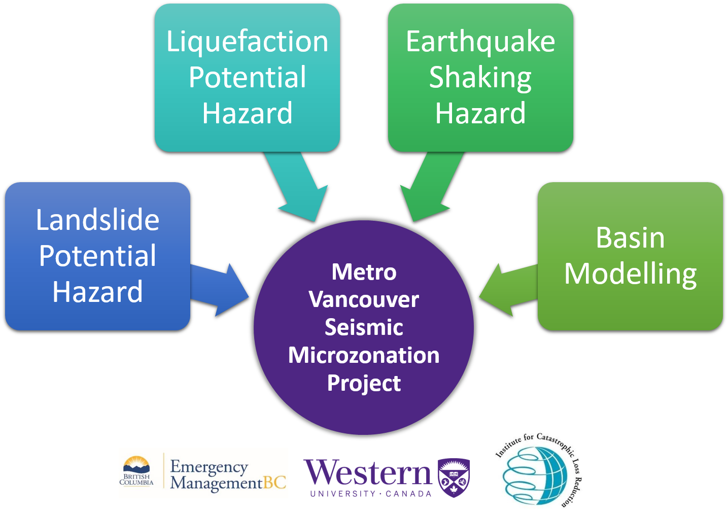
- Basin Modelling: Accomplish 3D wave propagation simulations for future scenario earthquakes. Refine 3D velocity model with geodatabase (if applicable).
- Hazard Mapping: New data collection primarily by non-invasive seismic methods, including surface wave dispersion and passive seismic (microtremor).
- May to September – Plan and prepare for field campaign. Perform field campaign.
- September to April – Analysis of field campaign datasets. Update shaking, liquefaction and landslide hazard maps.
- The above annual cycle of field work collection and analysis repeats four times, with:
– Updates to the 3D geodatabase and geological model, and 3D basin model (if applicable)
– Assessment of coverage, resolution and uncertainties
– Possible invasive geotechnical testing to adequately address coverage and/or resolution
– Evaluate capacity to include another community
A
- By September 2022 – Finalize all analyses. Incorporate basin modelling results.
- By December 2022 – Finalize outcomes and products. Submission of seismic zonation maps and GIS datasets.
- By March 2023 – Generation of final report.