Summary of geotechnical data collection
- Communication with organizations to share available data for summer field campaign planning.
- A Western data sharing agreement was developed and shared with agencies upon request.
There is an ongoing effort to obtain available geodata from agencies and municipalities.
Field data collection
The field campaign was performed from July 8 to August 7, 2024, by a team of 7 Western University personnel.
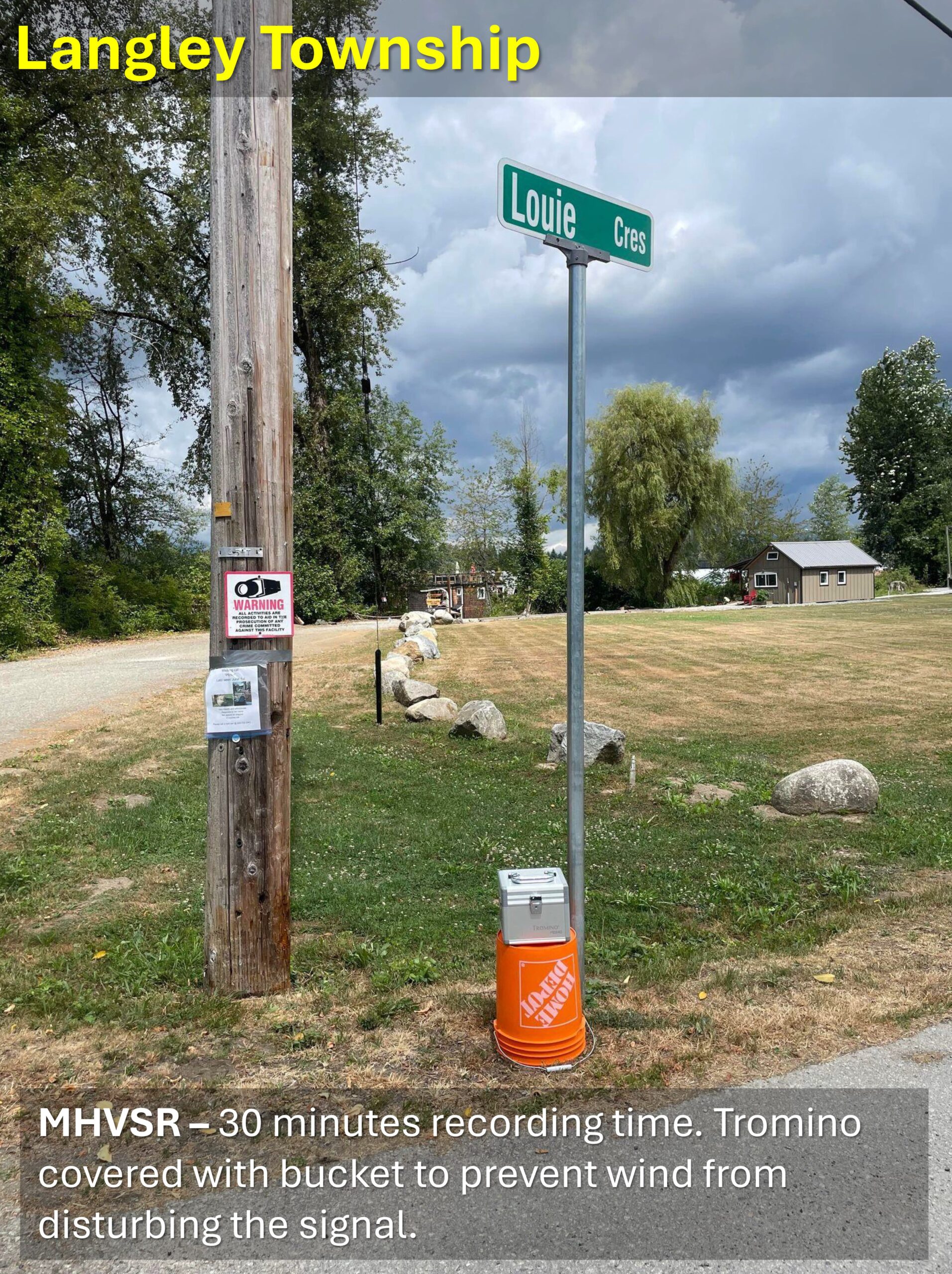
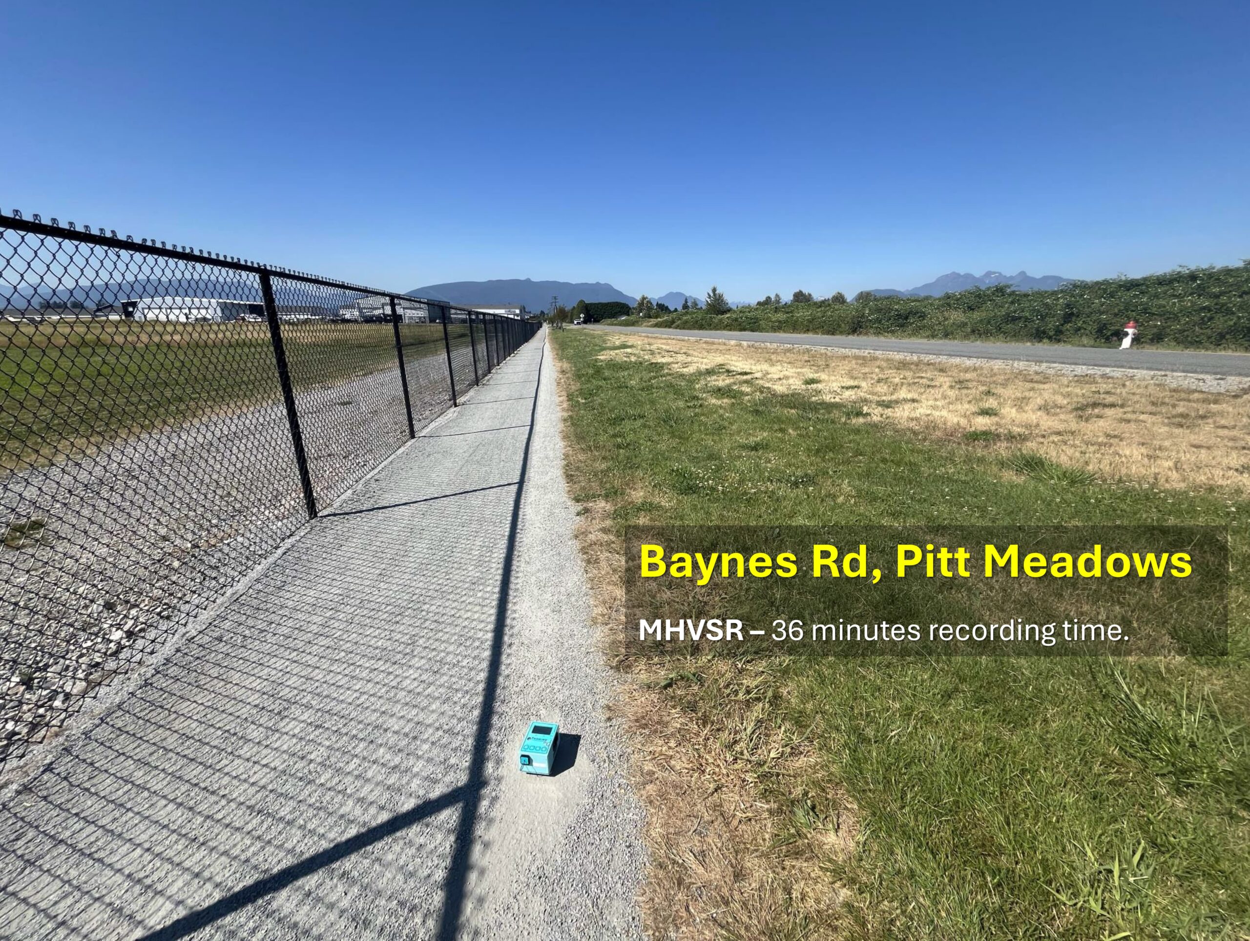
- Over 433 mHVSR measurements were performed across the region. A total of 75 mHVSRs were collected in Pitt Meadows and 131 in Maple Ridge in a grid of approximately 600 m x 600 m in urban areas and a coarser grid in rural areas. A total of 227 mHVSRs were collected in the City and Township of Langley, with a variable spacing from ~600 m to a 1000 m grid.
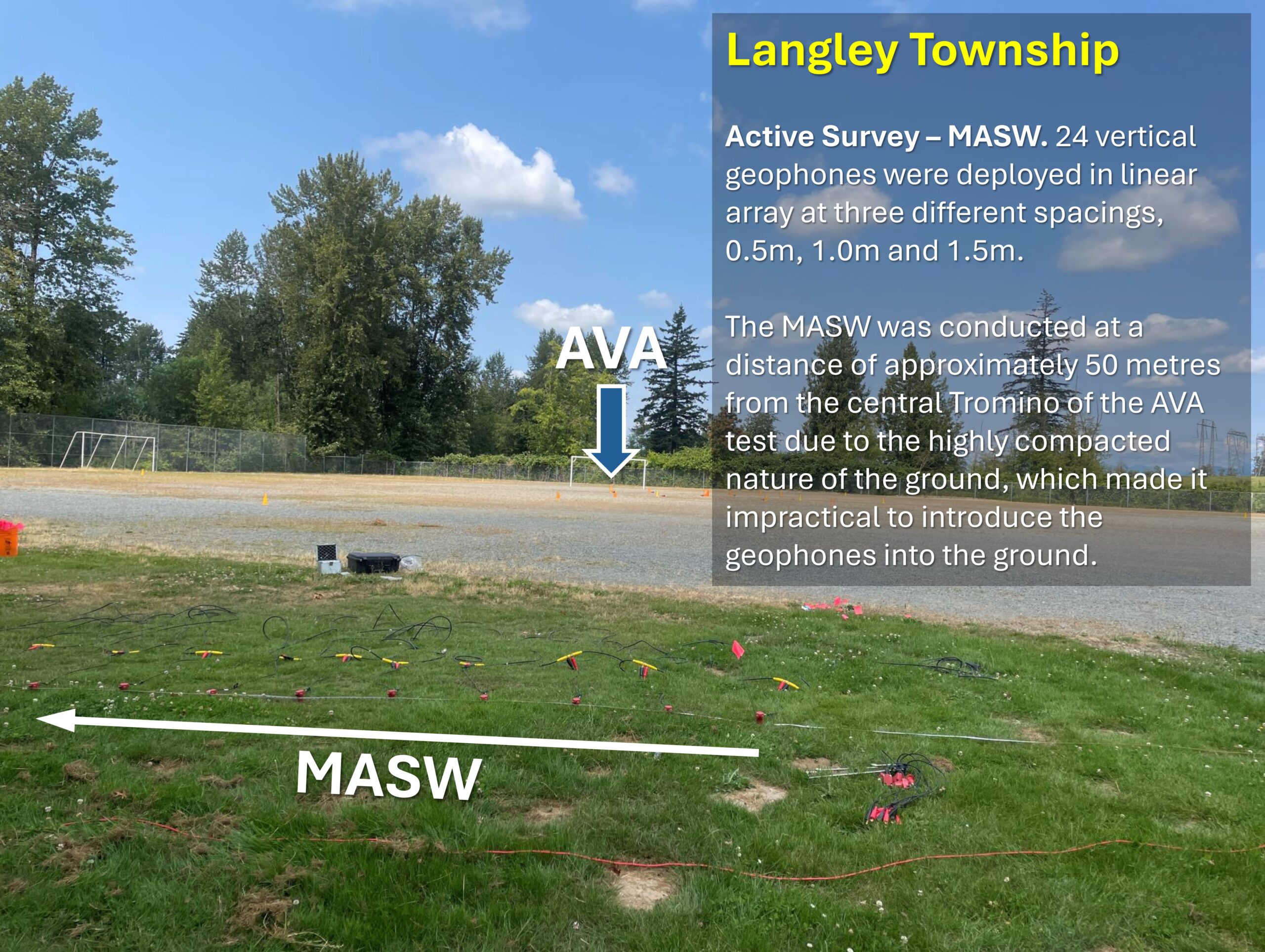
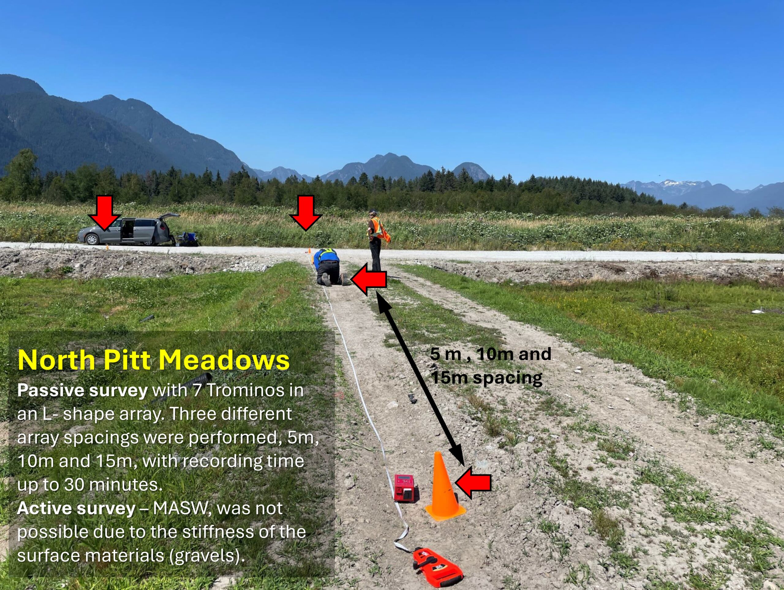
- During the field campaign, multi-sensor seismic arrays, including AVA and MASW, were performed at 19 sites in Langley, 15 sites in Maple Ridge, 7 sites in Pitt Meadows and 1 site in the jurisdiction of Abbotsford, for a total of 42 sites. A compression-wave refraction survey was performed at a site in Maple Ridge, on Tertiary bedrock.
Detailed processing and analysis is currently underway.
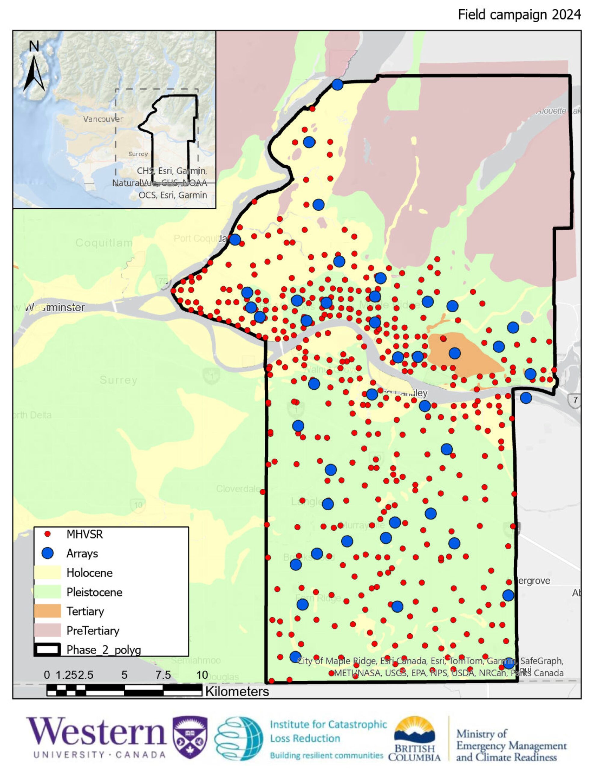
Locations of all 2024 field measurements.

